
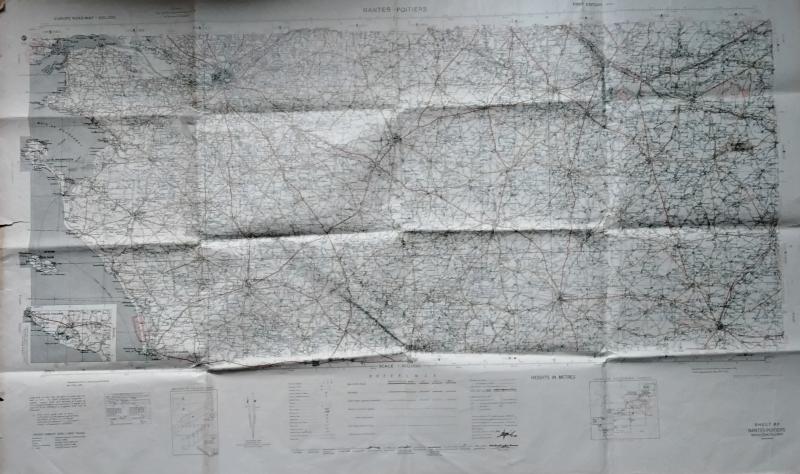
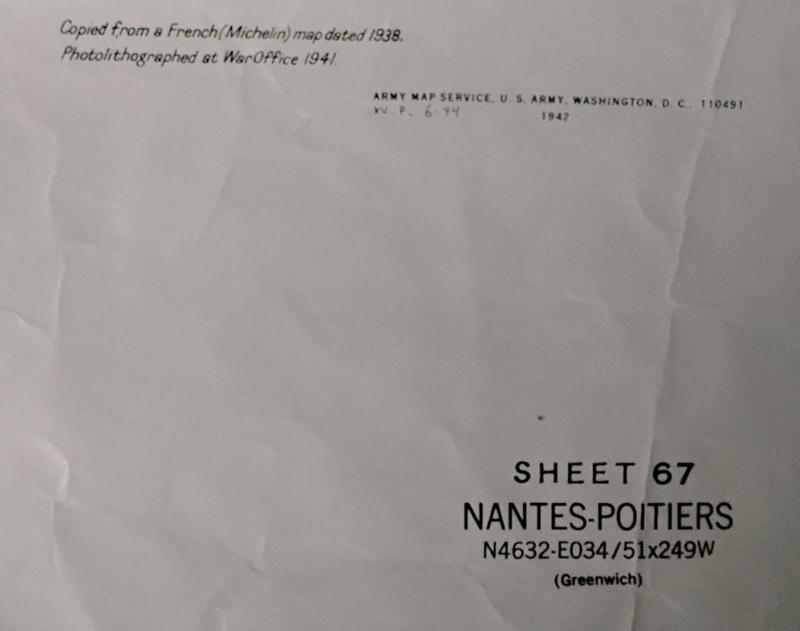
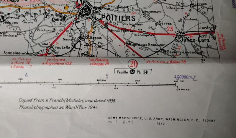
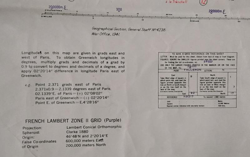
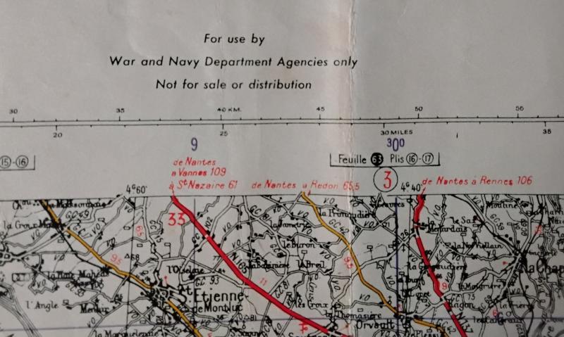
WWII Map of Nantes and Poitiers Area
WWII Ministry of Defence Road Map of Nantes and Poitiers Area Dates 1941.
This Map Measures 48 Inches (4ft) X 28 Inches
The Usual Folds and Creases In Used Condition as Per Photo's
Code: 54212
7.50 GBP
WWII Ministry of Defence Road Map of Nantes and Poitiers Area Dates 1941.
This Map Measures 48 Inches (4ft) X 28 Inches
The Usual Folds and Creases In Used Condition as Per Photo's
Code: 54212
7.50 GBP