

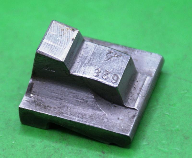
Walther P38 Locking Block
Original Walther P38 Barrel Locking Block
In Good Used Condition Marked as Per Photo's read more
35.00 GBP
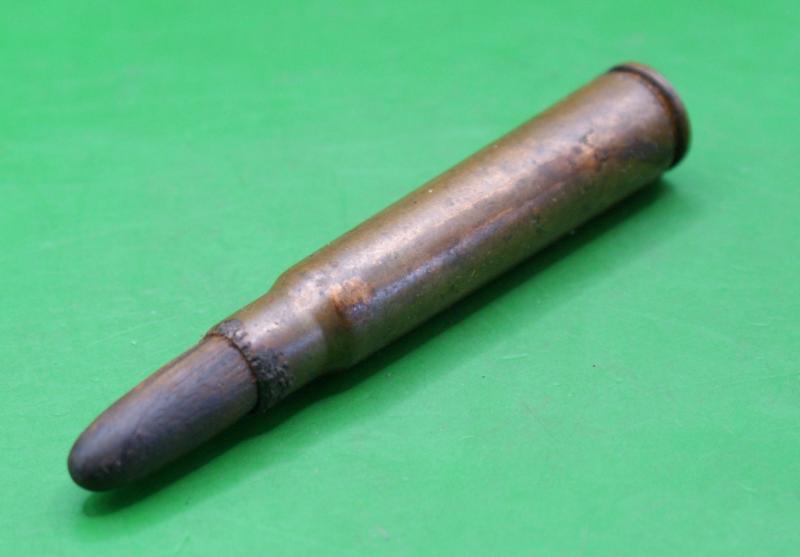
7.92cal Wooden Projectile Rifle Grenade Launching Round.
Original WW11 German Inert 7.92cal Rifle Grenade Launching Round / Training Blank.
The Hollow or Light Wooden Projectile Shattered into Harmless Fragments or Fine Dust Inside the Barrel, While the Powder Charge Created the Necessary Gas Pressure for the Discharge of the Grenade!
It was also Used to Simulate Live Fire During Training.
In Recovered Now Inert Condition. read more
6.00 GBP
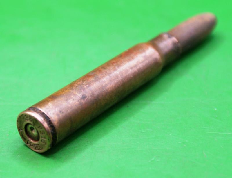
7.92cal Wooden Projectile Rifle Grenade Launching Round
Original WW11 German Inert 7.92cal Rifle Grenade Launching Round / Training Blank.
The Hollow or Light Wooden Projectile Shattered into Harmless Fragments or Fine Dust Inside the Barrel, While the Powder Charge Created the Necessary Gas Pressure for the Discharge of the Grenade!
It was also Used to Simulate Live Fire During Training.
In Recovered Now Inert Condition. read more
6.00 GBP
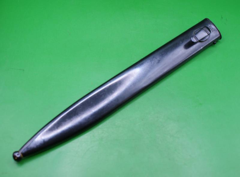
Mauser K98 Bayonet Scabbard
German Mauser K98 Bayonet Scabbard.
New Condition as Per Photo's ( N.M) read more
25.00 GBP
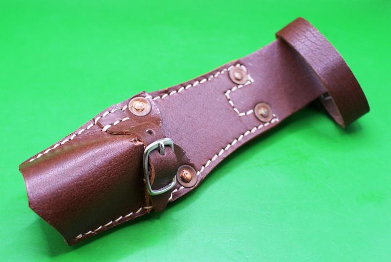
Belgium 1916 Leather Bayonet Frog
Leather Bayonet Scabbard Frog for a Belgium 1916 Bayonet
In New Condition May Need Fettling to the Scabbard as Per Photo's ( N.M.) read more
25.00 GBP

Sten Trip Lever
Original Sten Trip Lever.
Also Known as a Disconnecter.
In Very Good Used Condition as Per Photo's read more
10.00 GBP
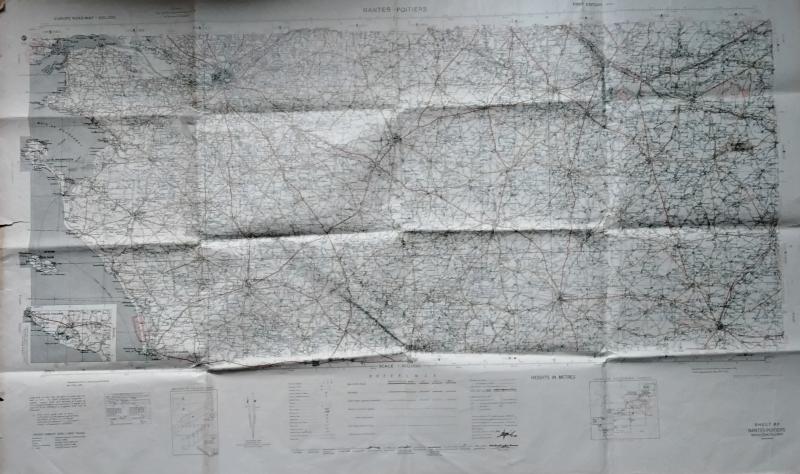
WWII Map of Nantes and Poitiers Area
WWII Ministry of Defence Road Map of Nantes and Poitiers Area Dates 1941.
This Map Measures 48 Inches (4ft) X 28 Inches
The Usual Folds and Creases In Used Condition as Per Photo's read more
7.50 GBP

WWII Map of Weymouth and Dorchester
Original WWII British Map of Weymouth and Dorchester Area.
In Used Condition.Marked and Dated as Per Photo's read more
7.50 GBP

WWII Map of Bishop's Castle
Original WWII British Army Issue Map of Bishop's Castle Area.
Marked and Dated 1940
In Used Condition With Some Folding as Per Photo's read more
7.50 GBP

WWII Map of Portmadoc and Criccieth.
Original WWII British Army Issue Ordanance Survey Map of Portmadoc and Criccieth Area.
Marked and Dated 1940
In Used Condition With Some Folding as Per Photo's read more
7.50 GBP